A small section of the Chehalis River is easily viewed from I-5 between Centralia and Chehalis, but this river is much more. To start with, it is the largest watershed completely within the boundaries of Washington State. It’s a watershed of immense reach, 2,700 square miles in area, with over 3,300 miles of tributary rivers and streams.
From headwaters in the Willapa Hills, it flows in all four directions before it reaches the Grays Harbor estuary. The mainstem has no dams at this time. In most years, the Chehalis produces more salmon than any other river in all of Washington.
The Chehalis River is known by the Chehalis people as nsu̓lapš, which means “our wealth water.” For thousands of years, the Chehalis people lived with and accommodated flooding as a fact of life.
Building in a flood plain
That changed as settlers came to the Basin to harvest timber, to farm, to fish and to live. They built roads, homes, bridges, shopping malls, airports, wastewater treatment facilities and more infrastructure in the river’s flood plain. Major floods have become more common and climate change will drive an increase in their frequency and intensity.
In 2007, a catastrophic flood shut down I-5 for days and caused hundreds of millions of dollars in damage. That flood is the impetus behind the Chehalis Basin Strategy, a state initiative with an ambitious dual mission: to reduce flood damage and to restore habitat for salmon and other aquatic species.
Identifying impacts of a long-sought dam
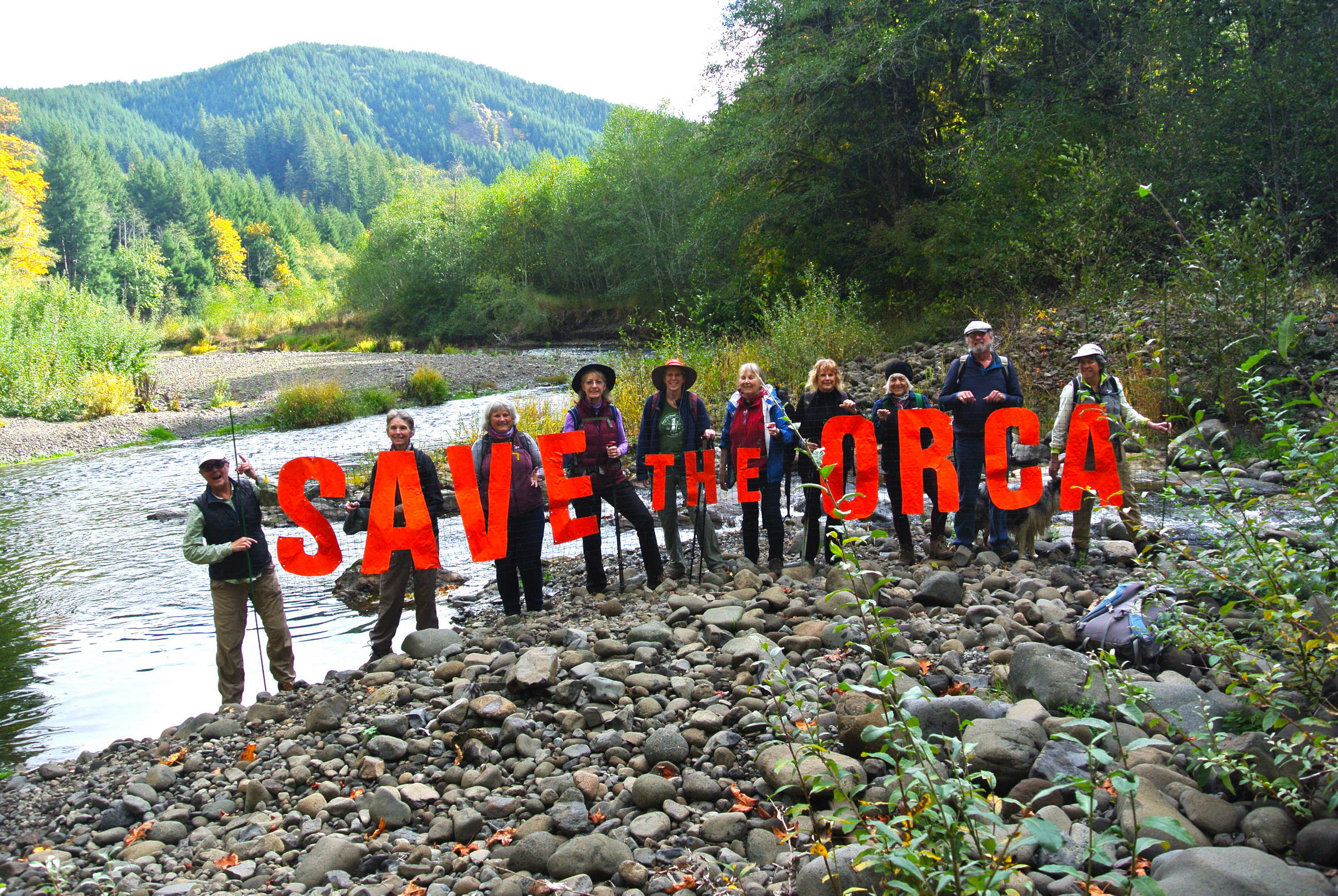
As part of the Strategy, members of the Chehalis River Basin Flood Control Zone District (FCZD) proposed a dam near the headwaters of the Chehalis River. Hopes for a dam have been in the works for over 20 years.
The dam was presented as a way both to provide flood control and to restore salmon, but a February 2020 Draft Environmental Impact Statement (DEIS) revealed instead that construction of a dam would have adverse impacts on salmon.
When the DEIS was issued, questions and concerns about impacts and the lack of examination of any alternative to the dam drew statewide attention. One of the most troubling impacts of the dam was increased water temperature—water over 20 degrees centigrade is deadly to salmon. Extinction of Spring Chinook that spawn above the dam site is virtually guaranteed if a dam is built. The dam would also accelerate the decline of Coho, fall Chinook, Steelhead and culturally important Lamprey.
One of the most troubling impacts of the dam was increased water temperature—water over 20 degrees C is deadly to salmon.
Taking a step back
The consequence of these findings for the dam proposal was made clear in a statement by a Board member serving on Ecology’s Office of the Chehalis Basin (OCB), which is tasked with implementing the Chehalis Basin Strategy. Tyson Johnson of the Quinault Nation stated, “We can’t support the dam based on the DEIS which says the dam would have unavoidable impacts on salmon and our treaty rights.”
In light of the DEIS findings, Governor Inslee in July of this year issued a directive to pause work on the impact statement for the dam and to use the time to develop and evaluate a basin-wide, non-dam alternative. A final EIS is due in 2023.
And a step forward
Today this evaluation is beginning as the Local Actions Non-Dam (LAND) alternative. LAND represents the missing piece of the Chehalis Basin Strategy, providing a critical back-up plan, revealing solutions to flooding that have not been considered. This is especially important for the lower Basin, where a dam would not provide the same degree of flood protection as for the Centralia/Chehalis area.
As Harry Pickernell, Sr., Chairman of the Confederated Tribes of the Chehalis noted, “The Chehalis Tribe is very happy to be a part of the LAND committee. We are looking forward to creating a non-dam alternative that provides substantial protection for people and property, without major negative impacts to the environment. This is what communities around the world are doing in the face of climate change in efforts to get people out of harm’s way. The solutions we are seeking are sustainable, more friendly to the environment and will cost less than a billion-dollar structure that needs constant tax dollars to maintain and operate.”
The OCB has approved a new steering committee to work on the LAND alternative. This came after pressure from the tribes and environmental groups, including the Chehalis River Alliance. Members of the steering committee include three OCB Board members (including Tyson Johnson), three representatives of environmental organizations (American Rivers, Conservation Northwest, Wild Salmon Center), one farmer, and representatives from the Lewis County Economic Development Council and the City of Chehalis. According to Johnson, “One of the biggest goals of the LAND is the public engagement piece—we want to hear from all the different communities of the basin to get a sense of what works for them. We have to find ways to maintain community safety without sacrificing the environment.”
Here are three ways to keep informed about the Chehalis Basin Strategy and the LAND: Sign up for the Strategy’s email list; attend the virtual OCB Board meetings and the LAND meetings; learn about the work of the Chehalis River Alliance.
Lee First lives in the Chehalis watershed and is the Twin Harbors Waterkeeper.
Chehalis Basin Strategy’s Aquatic Species Restoration Plan
Read more about the Chehalis River Basin in the April 2021 issue of Works in Progress at http://olywip.org/flooding-in-the-chehalis-river-basin/www.olywip.org
Be First to Comment